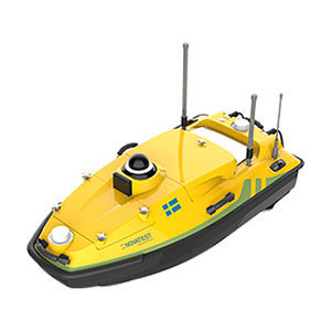
Strumento di misura di potenza V700Sdi campitemperaturadi frequenza
Aggiungi ai preferiti
Confronta con altri prodotti
Caratteristiche
- Misurando
- temperatura, di potenza, di corrente CA, di frequenza, di distanza, di campi, di livello
- Tecnologia
- laser, 3D, differenziale
- Applicazioni
- per batteria
- Configurazione
- portatile
- Altre caratteristiche
- di alta precisione, USB, regolabile, Bluetooth, a distanza
Descrizione
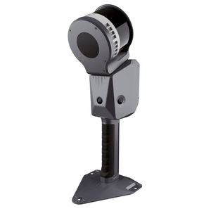
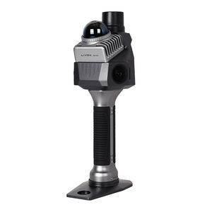
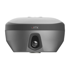
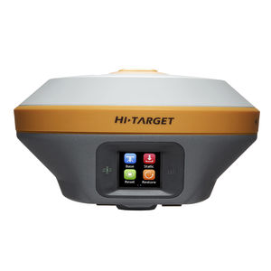
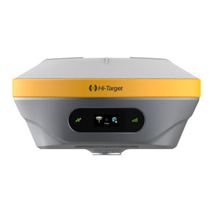
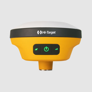
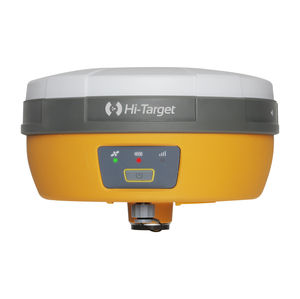
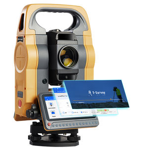
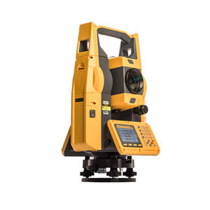
V700S integrates advanced RTK and SLAM technologies to ensure centimeter-level accuracy both in open environments and in areas without GNSS, enabling efficient and reliable surveys anywhere.Measurements Anywhere, Even Without SignalCollect data seamlessly in areas without GNSS, such as under bridges or indoors. The exclusive Hi-Target Laser Reverse Positioning technology guarantees centimeter accuracy even when satellites are unreachable.A Single Coordinate System, Zero ComplicationsThe fusion of RTK and SLAM ensures real-time positioning with unified output (BLH/NEZ). No control points required: perform surveys freely, without retracing your steps.Contactless Measurements, Maximum EfficiencyObtain precise point coordinates simply by taking a photo. Collect data safely from a distance — ideal for hard-to-reach or hazardous areas.Fast and Accurate Excavation VolumesAcquire dense 3D point clouds and quickly calculate cut/fill volumes. Perfect for excavations, pile measurements, and site progress monitoring.Next-Generation GNSS EngineThe 1408-channel GNSS SoC chip ensures strong and stable signals with low power consumption. Adaptive anti-jamming technology guarantees centimeter results even in complex environments.Office Software for Post-ProcessingTransform field data into precise deliverables. Generate clean point clouds, sections, and excavation analyses — all with centimeter accuracy.Applications:Urban regenerationVolume measurementTunnel surveysForest surveysUnderground pipelinesArchitectural surveysMain parametersTilt survey accuracy: 8 mm + 0.3 mm/° tiltChannels: 1408Signal tracking: BDS/GPS/GLONASS/GALILEO/QZSS/NavIC/SBAS/PPPLaser scanner range: 140 m@10%; 0.170 m@80%Data memory: Integrated 512 GB ROMImage measurement accuracy: 5 cmTechnical SpecificationsGNSS Configuration: 1408 channelsGNSS Signal: GPS (L1C/A, L1C, L2P(Y), L2C, L5), BDS (B1I, B2I, B3I, B1C, B2a, B2b), GLONASS (L1, L2, L3), GALILEO (E1, E5a, E5b, E6), QZSS (L1, L2, L5, L6), NavIC (L5), SBAS (L1, L2, L5), PPP (B2b-PPP, E6-HAS)Output Format: ASCII: NMEA-0183, BinaryOutput Rate: 1Hz~20HzStatic Data Format: GNS, RinexReal Time Kinematic: RTCM2.X, RTCM3.XNetwork Mode: VRS, FKP, MAC, Support NTRIP protocolSystem Configuration: Linux OS, Circulating 512GB ROMAccuracy and Reliability:High-precision Static: H: 2.5 mm + 0.1 ppm RMS, V: 3.5 mm + 0.4 ppm RMSStatic And Fast Static: H: 2.5 mm + 0.5ppm RMS, V: 5 mm + 0.5ppm RMSPPK: H: 8mm + 1ppm RMS, V: 15mm + 1ppm RMSPPP: H: 10cm, V: 20cmCode Differential GNSS Positioning: H: ±0.25m+1ppm RMS, SBAS: 0.5m (H), 0.85m (V), V: ±0.5m+1ppm RMSReal Time Kinematic (RTK): H: 8mm+1ppm RMS (Initialization time: Typically 10s), V: 15mm+1ppm RMS (Initialization reliability: Typically > 99.9%)Tilt Survey Performance: 8mm+0.3mm/°tiltAR Stakeout: SupportImage Measurement: A single photo can acquire multiple point coordinates with an accuracy of 5cmReal-time Accuracy Evaluation: SupportsCamera: 3 professional HD cameras, 1 bottom camera; supports AR stakeout, image measurement, working distance 2~15mLaser Scanner: Range 0.1~40m@10%, 0.1~70m@80%; Point Measurement Rate: 200,000 pts/sec; Laser Product Classification: Class 1 eye safe; FOV: H: 160°, V: 59°IMU: Update Rate 200HzCommunication: USB type C port; SMA antenna port; Nano SIM card slot; Network: TDD-LTE, FDD-LTE, GSM; Wi-Fi: IEEE 802.11a/b/g/n/ac/ax, 2.4GHz/5GHz, Wi-Fi hotspot; Bluetooth 5.2; Internal UHF Radio: Power 0.5W/1W adjustable, Frequency: 410MHz~470MHz, Protocol: HI-TARGET, TRIMTALK450S, TRIMMARK III, SATEL-3AS, TRANSEOT, etc., Channel: 116 (16 scalable)Sensor: Electronic Bubble (Supports), Tilt Survey (Built-in high-precision IMU module)Control Panel: Physical Button (Single button), Display: 2.8 inch, 480×640 pixel touchable screen, Led Lights: Mode, accuracy, networkApplication: Advanced Function (NFC, WebUI, firmware upgrade via u-disk), Intelligence Application (Intelligent voice, self-check), Remote Service (Message push, online upgrade, remote control)Physical: Power (Lithium battery, portable charger), RTK rover(UHF/Cellular): up to 10 hours, SLAM mode: up to 5 hours, USB 45W fast charging, fully charged in 2 hours, Size: Environments: IP Rating: IP64, Humidity: 100% non-condensing, Operation Temperature: -20℃~+55℃, Storage Temperature: -40℃~+70℃Kit includes:V700S SLAM RTK receiver8-inch rugged tabletHi-Survey Field software for field surveysOffice software for post-processingField support poleHard carrying case for maximum protection
Cataloghi
Nessun catalogo è disponibile per questo prodotto.
Vedi tutti i cataloghi di NovatestRicerche correlate
- Macchina per test
- Strumento di misura
- Macchina di misura
- Tester di durezza
- Tester portatile
- Durometro digitale
- Macchina di misura di spessore
- Strumento di misura portatile
- Kit di test manuale
- Tester di durezza portatile
- Sistema di scanner 3D
- Strumento di misura temperatura
- Strumento di misura di alta precisione
- Estensimetro
- Misuratore di spessore con display digitale
- Strumento di misura di corrente
- Strumento di misura USB
- Rilevatore di difetti
- Misuratore di spessore ad ultrasuoni
- Sistema di scanner portatile
* I prezzi non includono tasse, spese di consegna, dazi doganali, né eventuali costi d'installazione o di attivazione. I prezzi vengono proposti a titolo indicativo e possono subire modifiche in base al Paese, al prezzo stesso delle materie prime e al tasso di cambio.


